Cart
Free Shipping in the UK
Proud to be B-Corp

The Holy Land In Ancient Maps Anon

The Holy Land In Ancient Maps By Anon
Old & Rare

The Holy Land In Ancient Maps by Anon


£16.89
Condition - Acceptable
Only 1 left

Summary

1956. Unpaginated. Pictorial paper cover. Contains illustrated map plates. Loss to spine end. Mostly...

The Holy Land In Ancient Maps Summary

The Holy Land In Ancient Maps by Anon

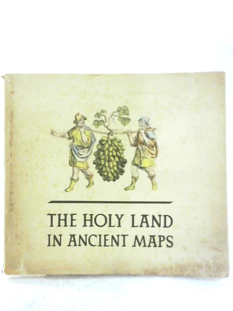
1956. Unpaginated. Pictorial paper cover. Contains illustrated map plates. Loss to spine end. Mostly clean pages with light tanning and foxing to endpapers and page edges. Occasional finger marking throughout, with rubbing and a few small nicks to text block edges. Paperclip marks on endpaper and behind cover. Cover is moderately tanned and foxed overall. Noticeable rub wear to surfaces and edges with crushing to spine ends and curls to corners. Slightly bowed. Split to spine end, and bleach spotting to lower edge.
Additional information

1564048140DAP
The Holy Land In Ancient Maps
Anon
The Israel Government Tourist Corporation
Used - Acceptable
Paperback
N/A
N/A
No Jacket
N/A
Book image taken of actual book.
N/A
This is a used book. We do our best to provide good quality books for you to read, but there is no escaping the fact that it has been owned and read by someone else previously. Therefore it will show signs of wear and previous use.
1956

Customer Reviews - The Holy Land In Ancient Maps